
Delhi India Central Area PDF Map Vector Attractions Exact High Detailed Street Map editable Adobe PDF in layers
$ 60.30
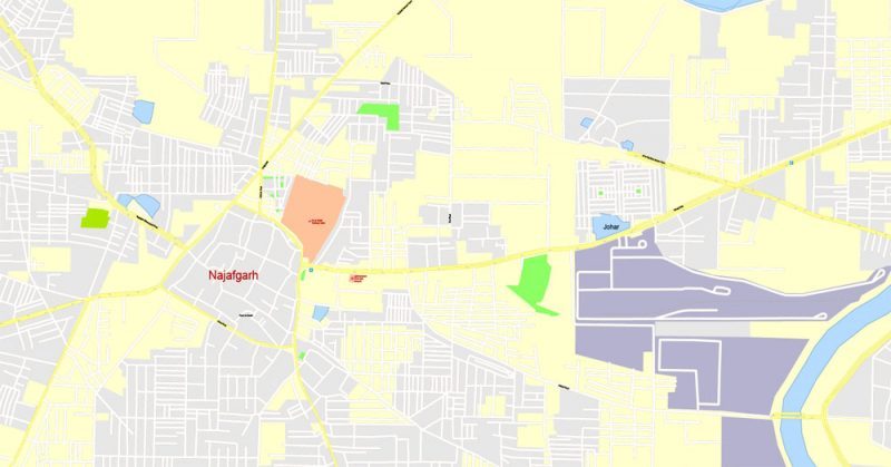
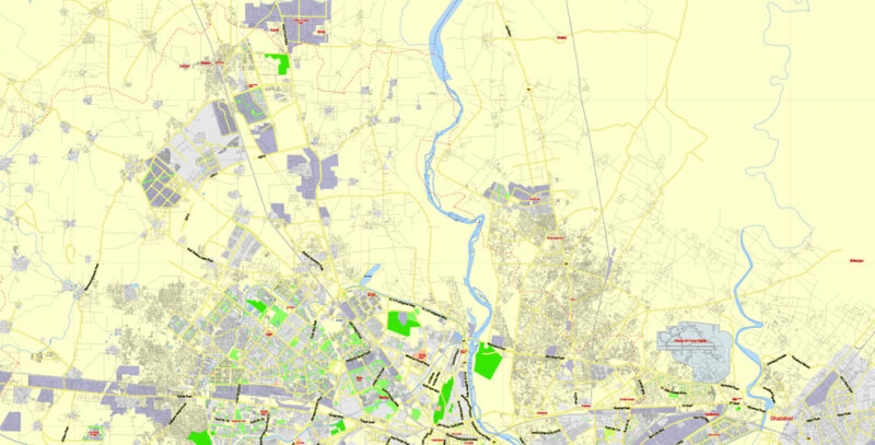
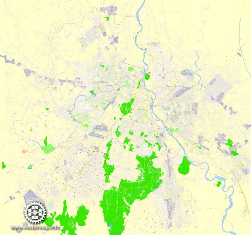
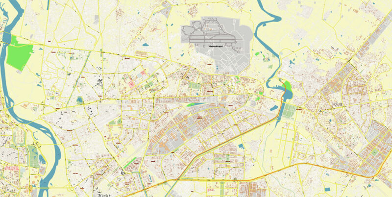
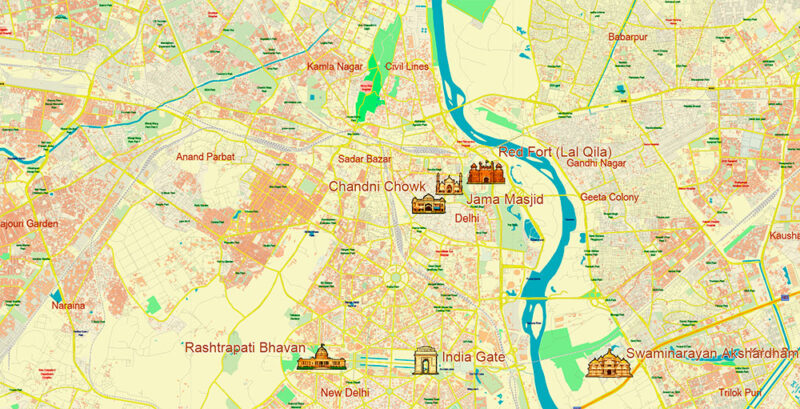
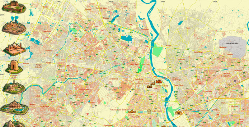
Printable PDF Vector Map of Delhi India Central Area Attractions High Detailed street map fully editable Layered Adobe PDF scalable, text/curves format all names, 79 MB ZIP All streets, Attractions Historical Objects, Buildings. Map for design, printing, arts, projects, presentations, for architects, designers, and builders, business, logistics. Delhi India Central Area PDF Map Vector Attractions Exact High Detailed Street Map editable Adobe PDF in layers Layers list: Legend Names of places (city, hamlet, etc.) Names of Attraction objects (parks, hospital, water) Names objects ATTRACTIONS ICONS POINTS 1,2,3 – PNG and Vectors Main Streets, roads Residential streets Railroads Buildings Water objects (rivers, lakes, ponds) Waterways Color fills (parks, land use, etc.) Background The most exact and detailed map of the Delhi India Central Area Attractions in scale. For Editing and High-Quality Printing AO Brief — Central Delhi (Core Area), Delhi Urban Agglomeration Overview Central Delhi is the symbolic and administrative heart of the Delhi metropolitan region, combining the historic core around Old Delhi with the planned imperial-capital districts of New Delhi. The area concentrates national institutions, major heritage zones, high-density commercial corridors, and some of the city’s most visited landmarks. Geographic & Urban Context Setting: Predominantly flat alluvial plain, structured around the Yamuna River to the east and major green/heritage corridors across the core. Urban form: Old Delhi: compact, dense, irregular street fabric (traditional markets and historic neighborhoods). New Delhi / Lutyens’ Delhi: broad ceremonial avenues, roundabouts, large plots, formal greens, and axial planning. Key spatial anchors: Yamuna riverfront, major ridge/green belts (where visible), and the central ceremonial axis of New Delhi. Boundaries (Practical Mapping Definition) For mapping and “city plan” purposes, Central Delhi can be framed as the core zone around: New Delhi (government precinct central business corridors) Old Delhi / Shahjahanabad (heritage walled-city core and market areas) Adjacent central districts that directly interface with this core via ring/arterial roads. Road Network (Major Corridors & Hierarchy) Primary arterials and ceremonial avenues (core): Rajpath / Kartavya Path axis (ceremonial boulevard through the government precinct) Janpath and Sansad Marg (connectors around key institutions) Connaught Place radial roads (hub-and-spoke geometry around the central business district) Ring / perimeter connectors: Ring Road system (primary distributor around the central core) Key bridges and river crossings linking the core to eastern zones across the Yamuna. Old Delhi structure: Narrow lanes, bazaars, and irregular blocks; vehicle access is constrained; high pedestrian intensity. Public Transport & Mobility Metro (backbone): dense station spacing in the core, strong interchange role near business/government areas and key rail terminals. Rail: major intercity terminals near the core support national connectivity and heavy daily flows. Bus corridors: high-frequency routes feeding interchanges and commercial hubs. Mobility profile: strong peak commuter waves (government offices, CBD), heavy tourist movement, and persistent congestion at market streets and choke points. Demographics & Activity Patterns Daytime population: spikes due to offices, ministries, courts, and corporate activity. Residential mix: from high-density, long-established neighborhoods (Old Delhi) to low-density, high-security or planned zones in parts of New Delhi. Economic functions: government administration, finance/services, retail markets, tourism, education, and cultural institutions. Landmarks & Points of Interest (Expanded Detail) 1) National Government & Ceremonial District (New Delhi Core) India Gate: monumental war memorial and public gathering node; strong visual axis and a key reference point for map orientation. Rashtrapati Bhavan (Presidential Estate): major institutional complex; large secured precinct with formal gardens and structured road geometry. Parliament House (Sansad Bhavan): primary legislative landmark; high-security perimeter, prominent roundabout geometry, and strong cartographic “anchor.” North & South Block / Central Secretariat zone: iconic administrative buildings and ministries; key for a “civic layer” and for tourist footfall mapping. Kartavya Path (ceremonial boulevard): the defining spine of New Delhi’s imperial plan, connecting ceremonial spaces and major institutions. Mapping notes: Mark secured perimeters, restricted access roads, monument plazas, and major pedestrian lawns as distinct layers. 2) Heritage Core — Old Delhi / Shahjahanabad Red Fort (Lal Qila): UNESCO-recognized Mughal-era fort complex; massive walls, gates, and surrounding open edges; very high tourist density. Jama Masjid: one of the largest mosques in India; prominent courtyard geometry; strong landmark visibility; surrounded by dense market streets. Chandni Chowk: historic market corridor; dense retail, street activity, and high pedestrian volumes; ideal for a “market streets” layer. Traditional bazaars and specialized market lanes: concentrated commerce zones with distinct street character and access constraints. Mapping notes: Include heritage boundary overlays, pedestrian priority areas, and market corridors. Lane density is high—use generalized symbology at smaller scales and detailed linework at large scale. 3) Commercial & Cultural Core Connaught Place (CP): premier central business district with a distinctive circular colonnaded ring and radial avenues; crucial orientation hub. Central retail corridors: shopping streets and office strips radiating from CP and connecting to transit nodes. Major museums and cultural institutions (central cluster): important for tourism and education; treat as a “culture/education” POI layer. Mapping notes: Best represented with: CBD boundary, major plazas, parking/transport nodes, and pedestrian promenades. 4) Memorials, Parks, and Urban Greens Large ceremonial lawns and gardens within New Delhi’s planned area support events, leisure, and iconic sightlines. River-adjacent green spaces (where accessible) provide ecological and recreational context. Mapping notes: Separate greens into: formal lawns, parks, heritage gardens, and riverfront vegetation. 5) Major Religious & Contemporary Landmarks (Central Interface) Depending on the exact “central” crop, include major high-traffic sites that strongly influence movement patterns: Large modern temples or cultural complexes within practical reach of the central core (high visitor peaks, strong transit tie-in). Notable memorial complexes and mausoleums near the core that function as high-demand tourist destinations. Mapping notes: Use a Landmark Category attribute (government / heritage / religious / museum / park / transport hub). Cartographic / Layer Structure for an Editable Vector Map (Adobe PDF in Layers) Base Layers Administrative boundaries (district / sub-zone outlines) Water (Yamuna river, canals/drains where mapped) Parks & green spaces (formal vs. natural) Transport Layers Roads (hierarchy: express/arterial/collector/local) Bridges and major junctions Metro: lines stations interchange symbols Rail: lines terminals Bus corridors / depots (optional, if included) POI & Landmark Layers Government institutions (secured precinct shading optional) Heritage monuments & complexes Markets & commercial hubs Museums / cultural venues Religious sites Hotels / visitor infrastructure (optional) Label Layers Neighborhood names Road names Landmark names Transit station names Optional bilingual labeling (if needed later) Design/Print Notes High readability at multiple scales (tourist overview detailed central plan) Clear symbology for restricted zones, pedestrian-heavy areas, and heritage districts Neutral palette suitable for client customization Delhi India Central Area PDF Map Vector Attractions Exact High Detailed Street Map editable Adobe PDF in layers Delhi India Central Area PDF Map Vector Attractions Exact High Detailed Street Map editable Adobe PDF in layers Delhi India Central Area PDF Map Vector Attractions Exact High Detailed Street Map editable Adobe PDF in layers Delhi India Central Area PDF Map Vector Attractions Exact High Detailed Street Map editable Adobe PDF in layers Delhi India Central Area PDF Map Vector Attractions Exact High Detailed Street Map editable Adobe PDF in layers Delhi India Central Area PDF Map Vector Attractions Exact High Detailed Street Map editable Adobe PDF in layers