
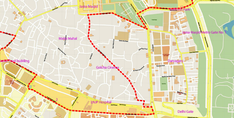
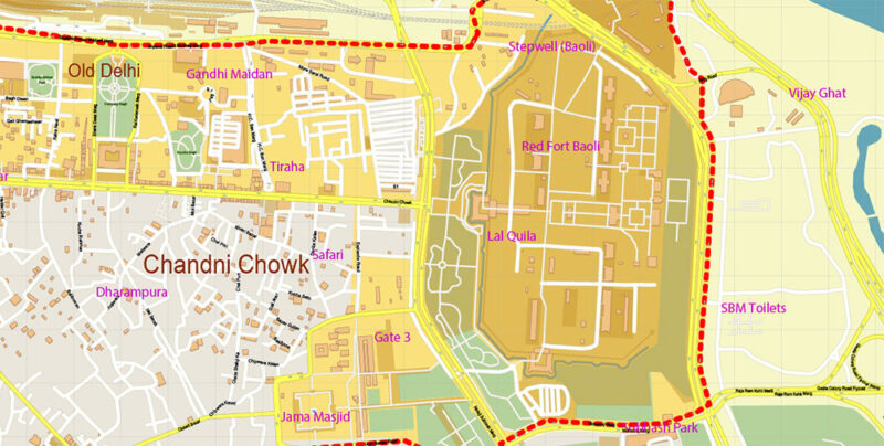
Chandni Chowk Delhi India PDF Map Vector Exact City Plan High Detailed Street Map editable Adobe PDF in layers
$ 33.05
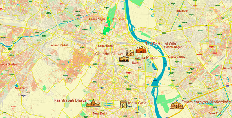
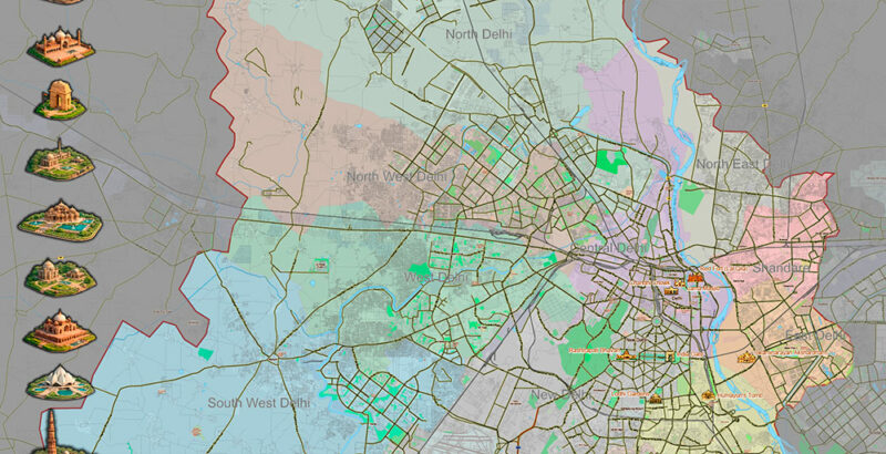
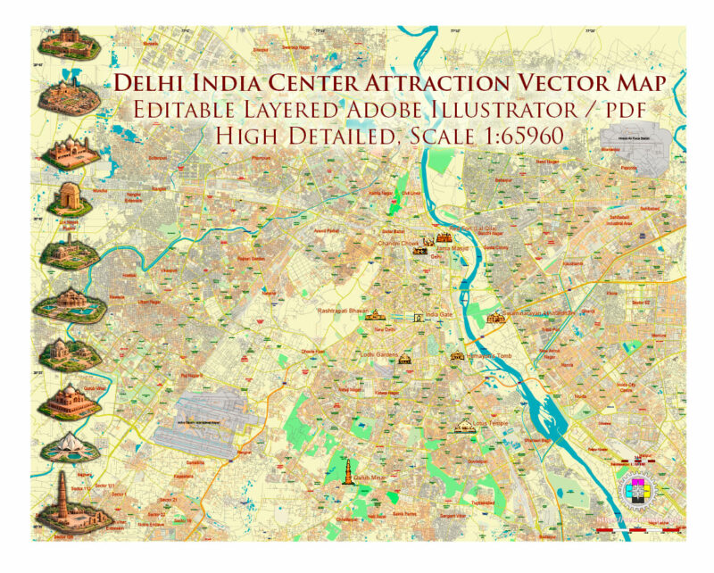
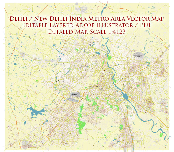
Printable PDF Vector Map of Chandni Chowk Delhi India detailed City Plan scale 1:4122 full editable Adobe PDF scalable, text / curves format all names, 4 MB ZIP All street names, Main Objects, Buildings. Map for design, printing, arts, projects, presentations, for architects, designers, and builders, business, logistics. Chandni Chowk Delhi India PDF Map Vector Exact City Plan High Detailed Street Map editable Adobe PDF in layers Layers list: Legend Grids Labels of roads Names of places (city, hamlet, etc.) Names main buildings Names of objects (hospitals, parks, water) Names of main streets Names of civil streets Arrows of streets Main Streets, roads Civil streets Railroads Buildings Buildings 2 transparent 50% Boundaries Chandni Chowk area Water objects (rivers, lakes, ponds) Waterways Color fills (parks, hospital areas, land use, etc.) Chandni Chowk area colored Background The most exact and detailed map of the city in scale. For Editing and High-Quality Printing Chandni Chowk, one of the oldest and busiest markets in Old Delhi, India, is a historically rich and geographically distinctive area that offers a vibrant mix of architecture, commerce, religion, and culture. Here’s a detailed geographical description of Chandni Chowk: General Location & Context Country: India State/UT: Delhi (National Capital Territory) District: Central Delhi Coordinates: Approx. 28.6562° N, 77.2301° E Chandni Chowk lies in Shahjahanabad, the historical walled city of Delhi, built by Mughal Emperor Shah Jahan in the 17th century. It is situated just north of the Red Fort and runs east-west from the Lahori Gate of the Red Fort to Fatehpuri Masjid. Urban Layout & Structure Central Spine: The main road of Chandni Chowk is a historic boulevard, about 1.3 kilometers (0.8 miles) long and once featured a canal with reflecting pools in the center, giving the area its name — Chandni (moonlight) Chowk (square). Narrow Lanes & Galis: Branching off the main road are hundreds of narrow lanes (called galis), each known for a specific trade — such as Dariba Kalan (jewelry), Khari Baoli (spices), and Ballimaran (footwear and spectacles). Chowks (Public Squares): Chandni Chowk originally had multiple chowks or squares that served as marketplaces and gathering spaces. Religious & Cultural Landmarks Chandni Chowk is a confluence of various faiths and features important religious sites: Jama Masjid: One of the largest mosques in India, located just south of Chandni Chowk. Sis Ganj Sahib Gurudwara: A key Sikh shrine along the main road. Sri Digambar Jain Lal Mandir: Oldest Jain temple in Delhi, opposite Red Fort. Baptist Church & other temples: Reflecting the area’s religious diversity. Boundaries North: Near Sadar Bazar and Kashmiri Gate East: Red Fort and Netaji Subhash Marg South: Jama Masjid and Daryaganj West: Fatehpuri Masjid and towards the railway station (Old Delhi Railway Station) Topography & Elevation Elevation: Roughly 210–220 meters (689–722 feet) above sea level Terrain: Flat, urbanized land — part of the Indo-Gangetic plains. Historically, a canal ran down the center, drawing water from the Yamuna River (just east of the area). Transportation & Accessibility Roads: Chandni Chowk Road (main axis), Netaji Subhash Marg, Esplanade Road Rail: Old Delhi Railway Station (nearby, west end) Metro: Chandni Chowk Metro Station (Yellow Line) Connected to Delhi Junction Railway Station via underground passage Rickshaws, carts, pedestrians dominate movement in interior lanes. Land Use & Commerce Mixed-use: Dense blend of residential, commercial, and religious land. Market Specialties: Spices (Khari Baoli) Jewelry (Dariba Kalan) Clothing & Fabrics (Katra Neel) Books & Stationery (Nai Sarak) Electronics (Lal Kuan) Known for iconic street food, old havelis, and heritage architecture. Architectural & Historical Significance Mughal-era Design: Originally a grand avenue with gardens and canal. British-era modifications altered the urban pattern with widened roads and modern infrastructure. Many heritage buildings and havelis still stand, though in varied condition. Climate Climate Zone: Humid Subtropical (Cwa) Summer: Very hot (up to 45°C/113°F) Monsoon: July to September Winter: Mild to cold, often foggy mornings Chandni Chowk Delhi India PDF Map Vector Exact City Plan High Detailed Street Map editable Adobe PDF in layers Chandni Chowk Delhi India PDF Map Vector Exact City Plan High Detailed Street Map editable Adobe PDF in layers Chandni Chowk Delhi India PDF Map Vector Exact City Plan High Detailed Street Map editable Adobe PDF in layers Chandni Chowk Delhi India PDF Map Vector Exact City Plan High Detailed Street Map editable Adobe PDF in layers Chandni Chowk Delhi India PDF Map Vector Exact City Plan High Detailed Street Map editable Adobe PDF in layers Chandni Chowk Delhi India PDF Map Vector Exact City Plan High Detailed Street Map editable Adobe PDF in layers Chandni Chowk Delhi India PDF Map Vector Exact City Plan High Detailed Street Map editable Adobe PDF in layers